Digital documentation of a prehistoric village at Marki Alonia in central Cyprus
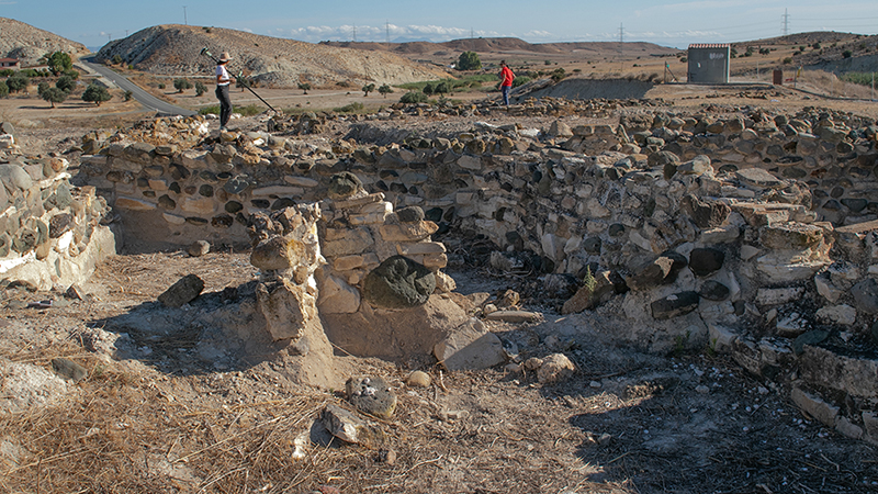
The small prehistoric village at Marki Alonia in central Cyprus was occupied from the beginning of the Early Bronze Age (about 2350 BCE) to the middle years of the Middle Bronze Age (about 1850 BCE). A decade of field archaeological research has provided evidence of household structures and settlement activity for a period of over 500 years (Frankel and Webb 1996, 2006a).
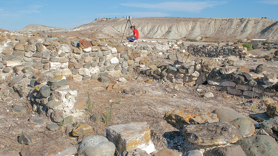
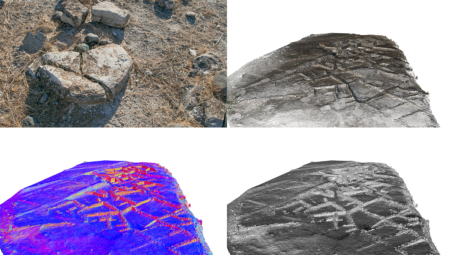
The small prehistoric village is located on the slope of the Alykos River and has suffered from significant erosion in recent years. In response to this threat, the Department of Antiquities (DoA) decided to rebury and cover the archaeological site in order to protect it. Before its reburial, the DoA sought the collaboration of the Cyprus Institute (CyI) for the systematic digital documentation of the site, which was pursued by expert researchers from APAC Labs/ STARC in late September 2024. Data collection included the use of laser scanning, terrestrial and aerial photogrammetry applications as well as the recording of topographical points with a Global Navigation Satellite System. Following post-processing of the collected data, a high-resolution textured 3D model was created in the Cyprus Geodetic Reference System.


